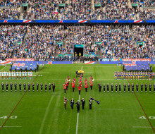
New Zealand Defence Force assisting recovery efforts on East Coast
29 January 2026
Unfortunately you are viewing this website on an outdated browser which does not support the necessary features for us to provide an adequate experience. Please switch to a modern browser such as latest version of Google Chrome, Mozilla Firefox, Apple Safari or Microsoft Edge.
Ngā mihi nui
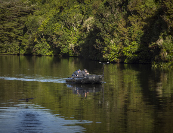
What lies beneath? Hydrographers from HMNZS Matataua have conducted an underwater survey of a wildlife sanctuary lake to search for submerged hazards and shallows.
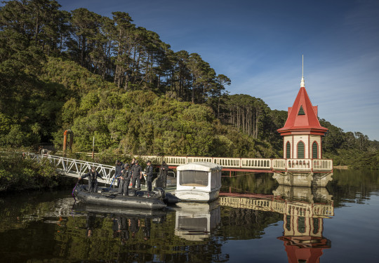
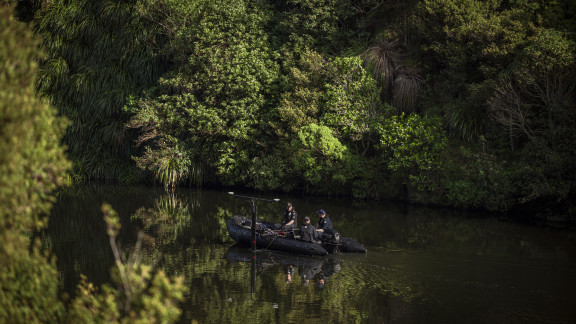
The survey was carried out at the Zealandia Ecosanctuary in Karori, Wellington, a fully fenced 225-hectare urban ecosanctuary with two historical dammed reservoir lakes.
The work was part of Exercise Anchorite, HMNZS Matataua’s regular hydrographic training exercise conducted in a variety of lake and coastal locations throughout New Zealand.
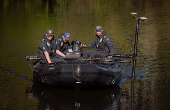
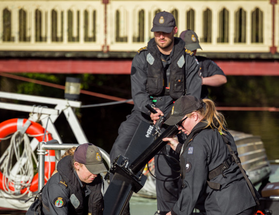
Navy hydrographers assist in the creation of accurate seabed, harbour, lake and coastline charts for navigational and military purposes. They help search for mines, underwater explosives, missing persons and sunken vessels and aircraft while operating Autonomous Underwater Vehicles (AUVs) and portable echo-sounders.
Using a
The Zodiac Futura Commando, FC470 and FC530, are durable, lightweight inflatable craft capable of multiple roles within the New Zealand Defence Force.
dinghy, the team used a portable multi-beam sonar and a side scan sonar to run back and forth along Zealandia’s lower reservoir lake, which has near-opaque waters and is around 15 metres at its deepest.
Warfare training helps uncover Zealandia's secrets | Royal New Zealand Navy
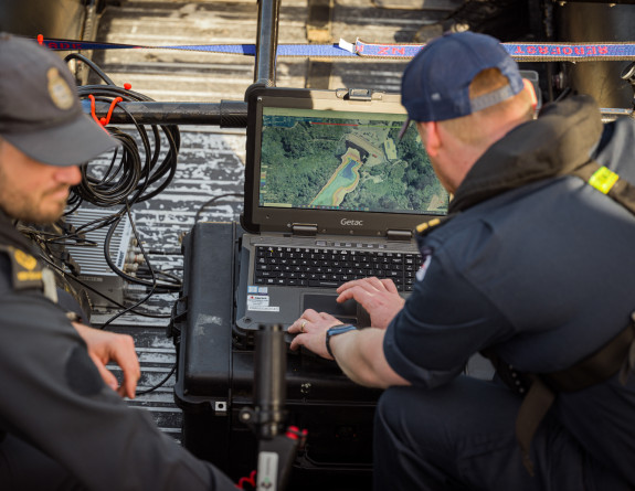
The resulting product, showing depths and underwater hazards such as submerged trees, will assist Zealandia in the use of their electric boat on the lower lake.
The tasking follows on from a Matataua survey and training exercise on the same lake in 2018. Recently, Zealandia requested the old survey data, and Matataua replied that they’d be happy to revisit, using equipment capable of more accurate surveys.
Chief Petty Officer Hydrographic Survey Technician Julie O’Hara, second in command of the team, says they had already planned to conduct survey work in the Wellington region and saw an opportunity to gain added training for their hydrographers in a freshwater environment.
“This is really good for our personnel,” she says. “We’re always looking at ways to improve our processes and training. You never know where we could be deployed in the world, and while we usually work in salt water, fresh water can be really different. It’s good training for us.”
She says the multi-beam system is capable of measuring to around 300-metre depths.
“It’s a bit like mowing a lawn,” she says. “You go up and down your survey area and the multibeam creates a wide swath pattern by emitting multiple acoustic beams. When the beams hit the bottom, they reflect back to the transducer. As it gets shallower, the swath gets smaller and you need run more lines to get 100 per cent coverage.”
After the multi-beam sweeps, the team switched to a towed side-scan sonar system.
Navy hydrographers assist in the creation of accurate seabed, harbour, lake and coastline charts for navigational and military purposes.
Side-scan sonar is particularly useful for mapping distinct submerged objects. Like angled sunlight, the sonar pulses strike an object on an angle, creating both an image and a ‘shadow’ on the screen that allows the operator to view its shape and height.
Zealandia’s Chief Executive Doctor Danielle Shanahan said they were thrilled to welcome the Navy back to map the depths of their lower reservoir.
“We are hopeful the information will provide new insights on how this place has changed since the team was last here in 2018.”
29 January 2026
18 November 2024
26 April 2024

12 March 2026

11 March 2026
26 February 2026
25 February 2026

24 February 2026
15 January 2026